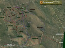
Pan, zoom and tilt for a flyover
and click to view stand info on
Google Earth. Google Earth must be
loaded on your Computer to use
this function. Can be downloaded
Pictures taken from certain spots on the estate. Simply click on the "Bird Icon" to see what it looks like at that spot.
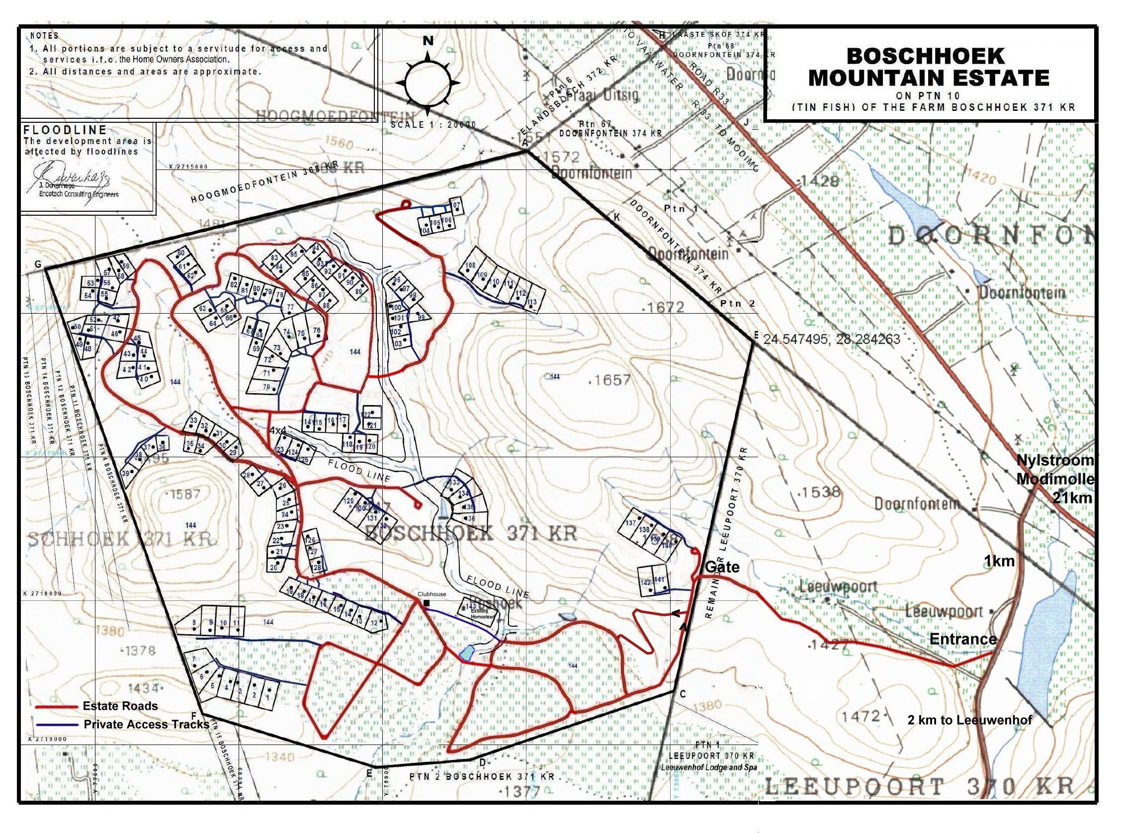
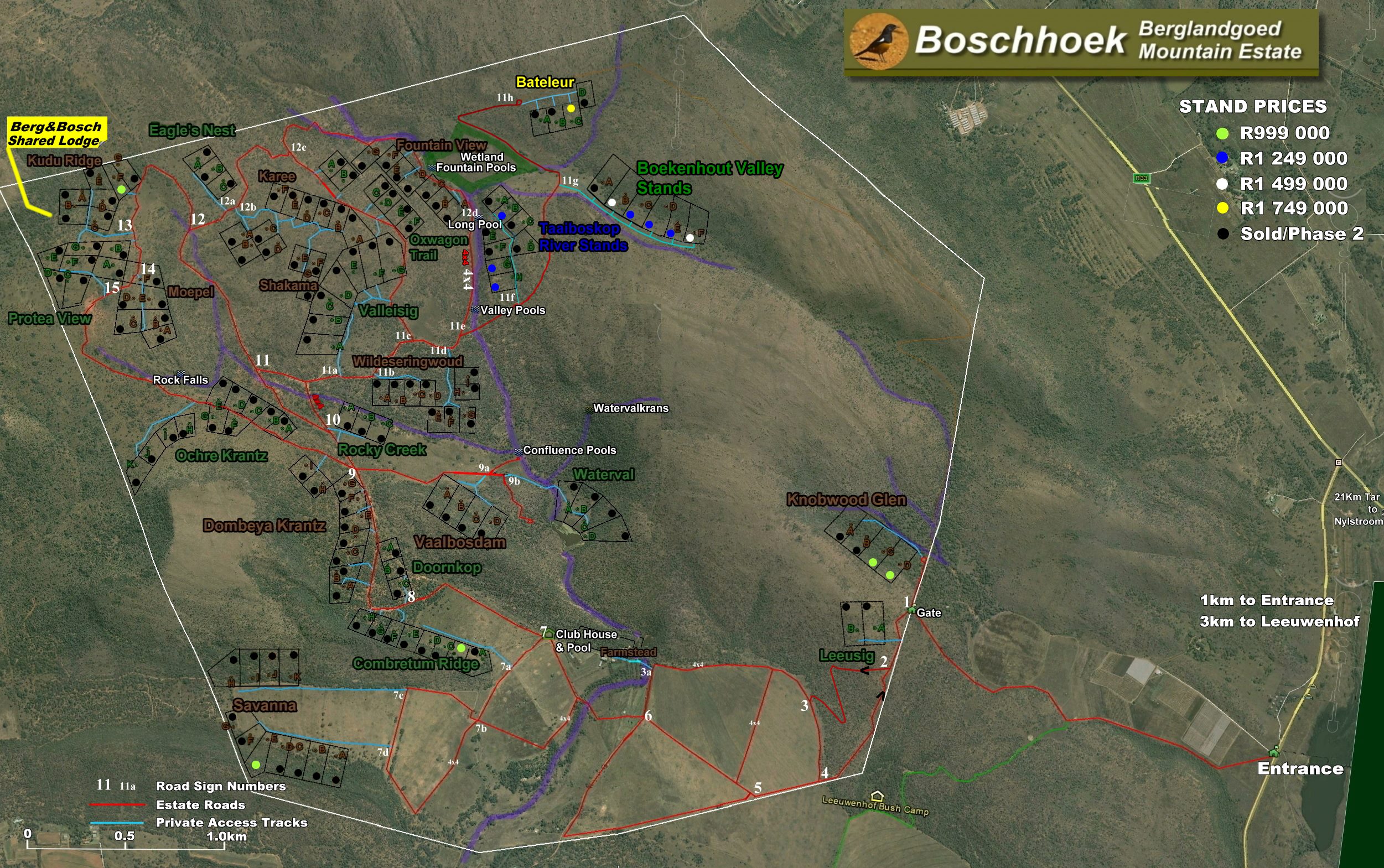
Includes pricing on each stand. Sold plots also indicated. Please note that reserved plots not listed, please refer to the pricelist.